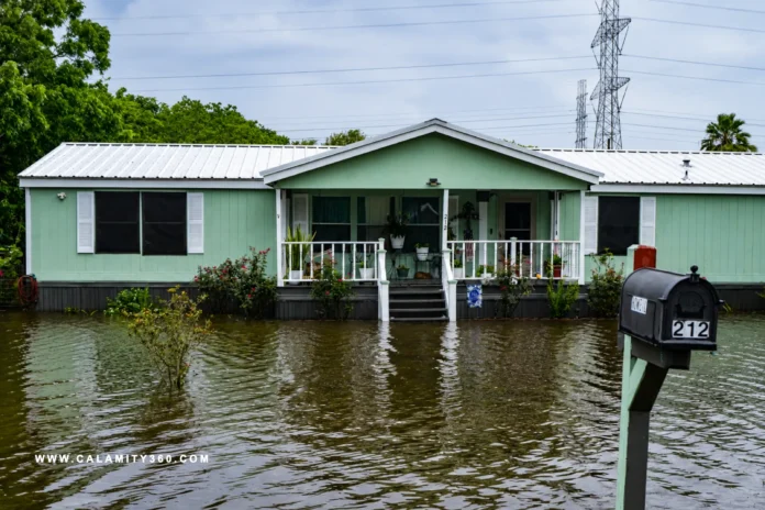

Rain Without Relief: Arthur’s Threat Persists Inland
Tropical Storm Arthur weakened into a low pressure area near the upper Texas coast. The National Hurricane Center announced the downgrade late Wednesday night. Officials still expect dangerous weather conditions across several Southeastern states. Heavy rainfall remains the primary concern despite the storm’s reduced strength.
Forecasters warned that widespread flooding threats extend well beyond Texas. Southern Louisiana faces elevated risks alongside parts of Mississippi and Alabama. Southwestern Georgia and the Florida Panhandle also remain under concern. The threat could persist through the weekend as moisture spreads inland.
Arthur became the first named storm of the 2026 Atlantic season. Its loss of tropical storm status does not eliminate flood dangers. Meteorologists continue close monitoring because intense rainfall can trigger disasters. Life threatening flash flooding remains possible across vulnerable communities and roadways.
A Slow March Across the South Brings Widespread Rain
As of late Wednesday, Arthur’s center sat north northeast of Galveston. Maximum sustained winds reached 35 mph despite the system’s weakening. The storm traveled north northeast at approximately nine miles per hour. Forecast models showed continued inland movement across southeastern Texas overnight.
The National Hurricane Center projected a track through western Louisiana. Arthur’s remnants should cross portions of the Southeast through Friday. Weather impacts extend far beyond the storm’s diminishing wind field.
Rainfall forecasts call for substantial accumulations across multiple Southern states. Areas from Texas through Alabama could receive five to ten inches. Western Georgia and the Florida Panhandle remain within forecast zones. Some isolated locations could receive totals approaching twenty inches overall.
Such rainfall amounts raise concerns about flash flooding and urban flooding. Low lying areas face heightened risks as precipitation overwhelms drainage. Forecasters expect flood threats to persist through the week’s end. Communities across affected regions continue preparations for potentially hazardous conditions.
Flood Alerts Shape Preparations From Coast to City
Tropical storm warnings once stretched from Sargent, Texas, to Morgan City. Authorities later lifted all warnings after Arthur lost tropical classification. The change reflected weaker winds rather than reduced rainfall concerns. Emergency officials continued close observation of conditions across affected regions.
Public safety agencies remained focused on flood threats after warning removals. Forecast updates emphasized water hazards instead of damaging wind impacts. Local authorities reviewed response plans for communities near vulnerable waterways.
Attention also turned toward urban locations where drainage systems face pressure. Flood watches highlighted areas susceptible to rapid water accumulation. Officials urged residents to remain alert despite improving storm classifications. Heavy rainfall can still create dangerous situations within densely populated neighborhoods.
Atlanta entered the spotlight as weather concerns intersected major events. A flood watch covered the city before Thursday’s World Cup match. National Weather Service forecasts warned of several inches of rainfall. Low lying locations and poor drainage areas faced elevated risks.
Beyond the Storm Name: Communities Face Water Risks
Arthur’s remnants carry consequences beyond weather forecasts and advisories. Event organizers watched conditions closely ahead of a World Cup match. Atlanta prepared for potential disruptions as heavy rainfall approached. Public attention extended beyond storm tracking toward practical community impacts.
A flood watch covered Atlanta before Thursday’s scheduled international fixture. Czech Republic and South Africa were set to meet downtown. National Weather Service forecasts cited possible flash flooding from intense rainfall. Areas with poor drainage faced greater exposure to rapidly rising water.
The agency warned that several inches of rain could fall. Low lying locations remained especially vulnerable during periods of heavier precipitation. Arthur’s downgrade changed its classification but not every associated danger. Flood hazards often persist long after tropical storm status disappears.

CALAMITY360.com delivers global news and safety insights on earthquakes, tsunamis, volcanic eruptions, floods, wildfires, storms, and tornadoes. It provides timely updates, expert tips, and disaster-readiness information to foster awareness, preparedness, and resilience across communities worldwide.